| Old | New | bridge | Waal | Dike | Flood |
Although not born (and as such not a real 'Bommelaar'), I was
raised in Zaltbommel.
We moved here when I was about 2˝ and apart from a short break
in '87/'88 I've lived here all my life.
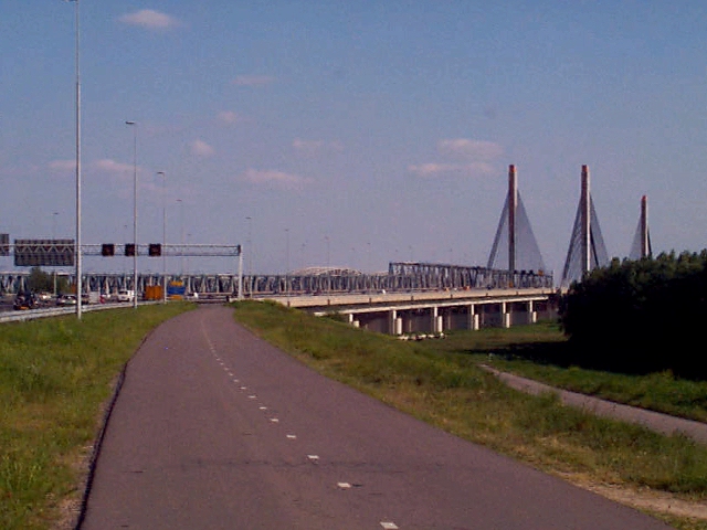
Most Dutch will know the name because of the traffic-jam
reports on the national radio.
The jam in front of the bridge here was the #1 for a couple of
years, till they build a new one next to it.
There still are traffic-jams every now and then, but it's not in
the #1 slot anymore.
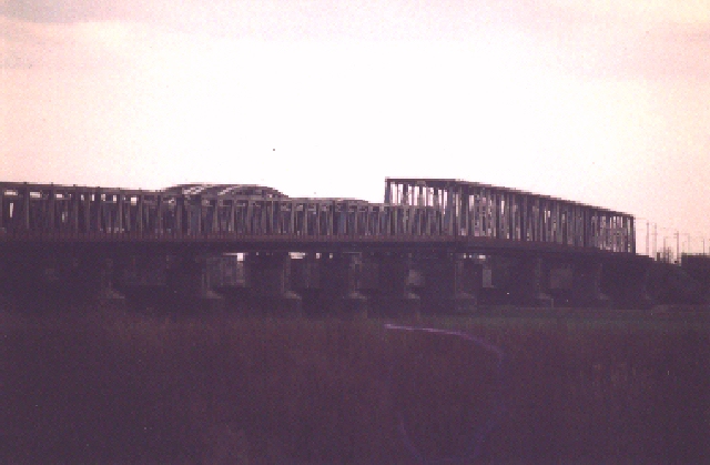
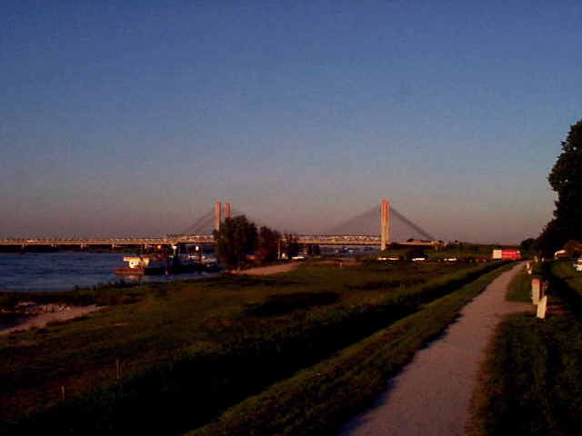
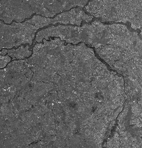
Zaltbommel is situated at the crossing of the highway A2/E25
over the river Waal at 51.49N
5.15E.
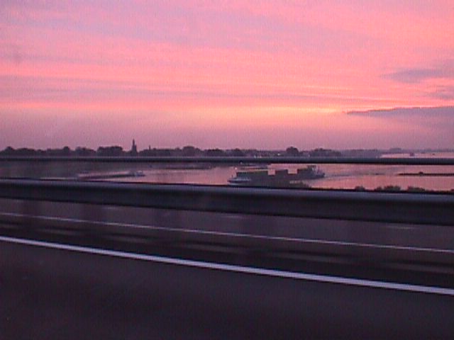
The river Waal is the main branch of the Rhine which runs from
east to west through the Netherlands.
As such it's used for heavy transport over water from the port of
Rotterdam to the industrial zones of the Ruhrgebiet in Germany.
And because it's on the river, we obviously also have a dike :)
In '93 (I think it was) there was a flood warning because of the
high levels in the river(s). We had to evacuate and I got to stay
with a friend in Rotterdam for about a week. Luckily the dike(s)
didn't break, but they'll be reconstructing them anyway, just to
make sure this won't happen again but about once in 1250 years.
(Which could mean tomorrow :)
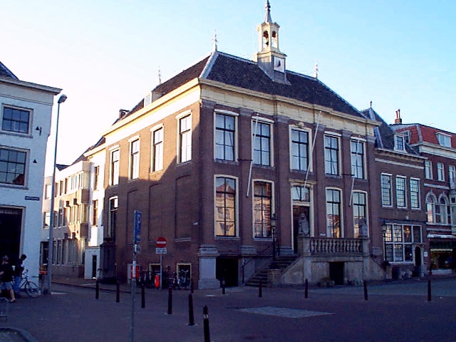
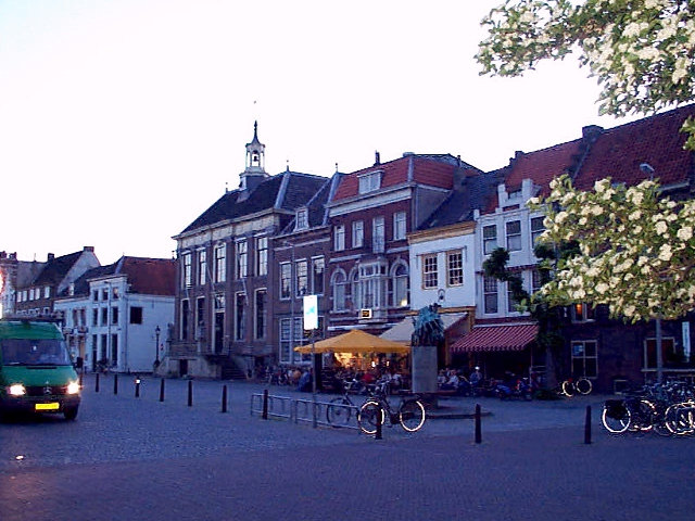
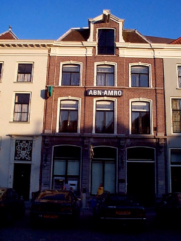
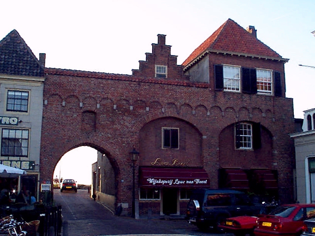
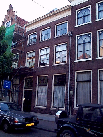
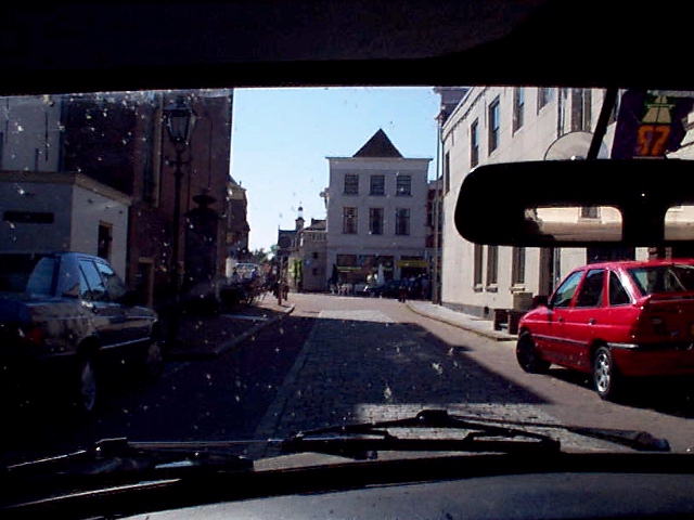
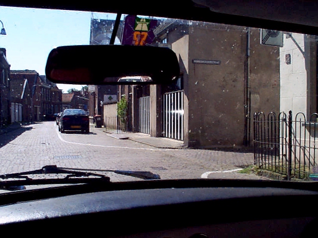
Zaltbommel has an inner old city, of which the waterworks as
well as part of the gates and fortifications of earlier times are
still in tact.
Outside of these the town has grown in the same way any other
Dutch town has; the buildings there are virtually interchangeable
with those of any other.
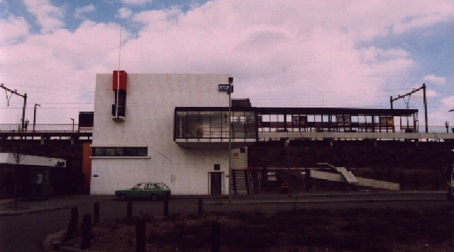
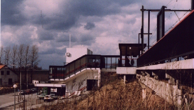
One relatively new building that is remarkable is the
trainstation. Seems like the architects of those still got some
imagination left, even though is does look like a rip-off from Rietveld
:)
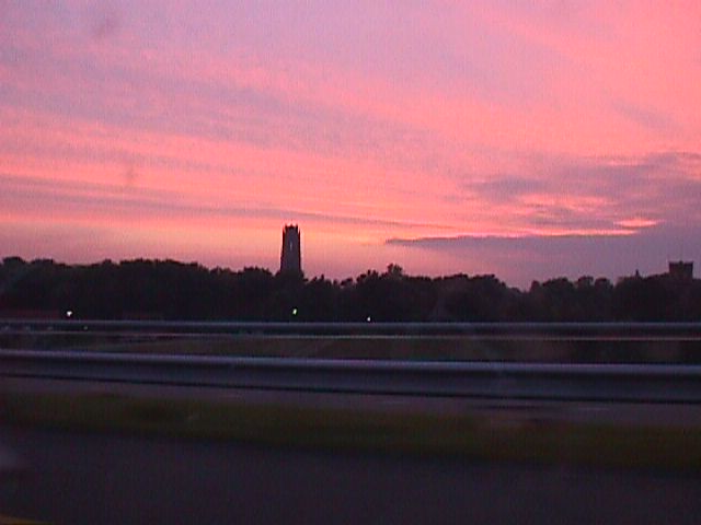
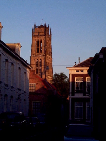
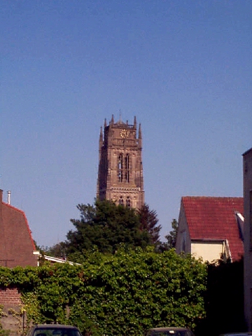
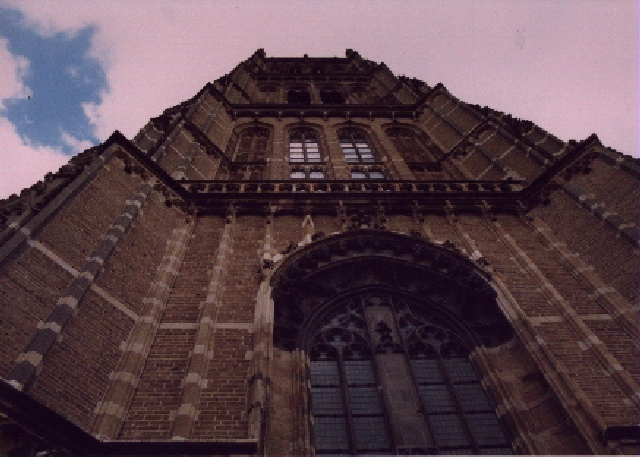
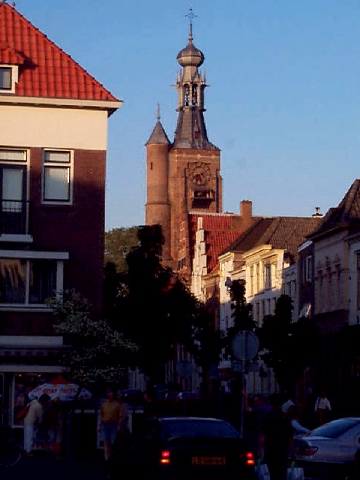
Apart from the river, the bridge and the highway, the first
thing you see when approaching Zaltbommel is the high tower of
the church.
With it's 65m it's supposed to be the 2nd highest tower in the
Netherlands; only beaten by the 'Dom' in Utrecht.
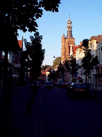
As I live in the inner city, this is also what I look out on when
I look out of the window when sitting in my livingroom.
My brother lives in the outskirts of Zaltbommel (almost a mile
away :), my parents though live about 3 blocks away.
(Which is 3 times as far as it used to be before I moved to my
current place :)
The tower is these picts is called the 'Gasthuis' tower.
(Guesthouse-tower)
There's a story about it, but it would be too long to tell
here...
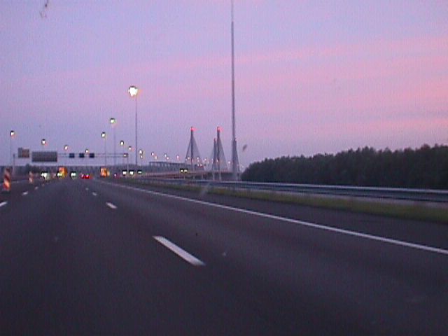
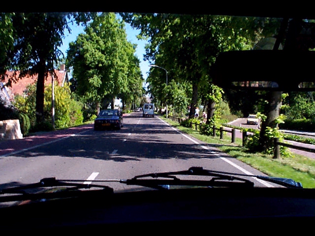
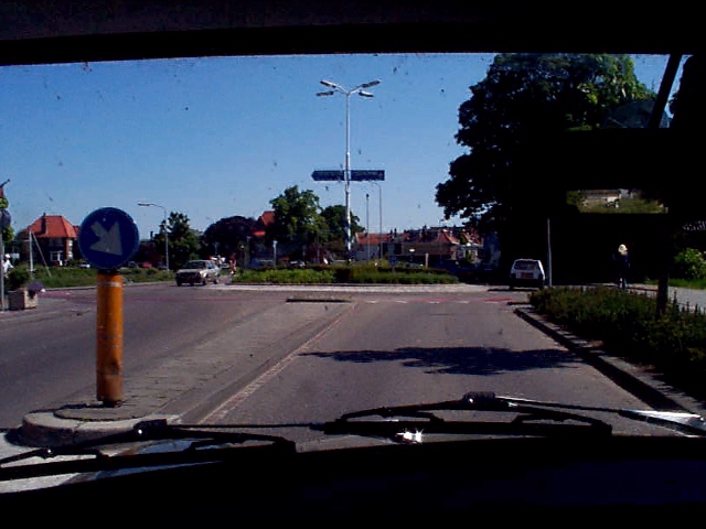
Lastly, this is what I see when driving home in my Mini. Providing the weather is good that is, else it looks a bit differently :)
If you'd like to read more about the region, go visit Trefpunt's site about the
'Bommelerwaard'.
(Only available in Dutch AFAIK)